fbpx

Your Construction Technology Provider

Rugged, Outdoor Augmented Reality System for Visualising and Reporting

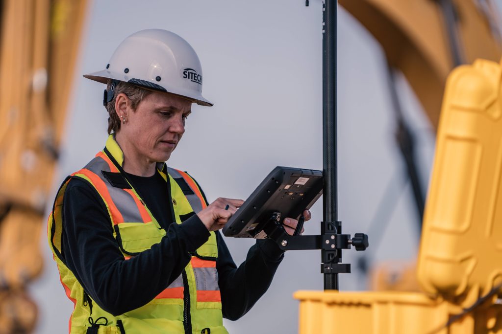
Trimble SiteVision is a user-friendly multi-purpose tool used for communicating new designs and changes to field crews, inspections, determining productivity and calculating quick measurements on site including points, lines and cut/fill values. SiteVision plays a key role in all stages of the construction life cycle: planning and initial visualisation, checking progress and identifying issues to reduce cost and increase efficiency.

Increase Efficiency, Decrease Risk

The intersection of physical and digital worlds in SiteVision allows contractors to bring data to life. Providing real-world context to designs enables users to quickly communicate complicated plans and drawings, confirm designs and precisely identify where hidden assets are to minimise costly errors and safety related incidents. Easily understanding progress on site keeps everything on track and reduces the possibility of unexpected issues along the way.

Applications

SiteVision enables users to easily understand new designs, existing underground services, and how future landscapes will look over time without the need to interpret complex 3D plans.

  • Plan and visualise onsite progress, inspect completed work, complete quality management and identify issues early to reduce costs and time
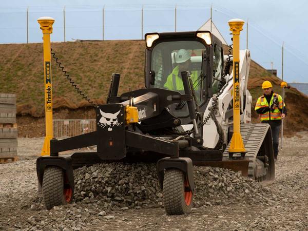
  • Check finished grade and laid material thickness against design elevations and tolerances
  • Confirm designs and avoid issues by identifying the location of utilities in the context of the real world
  • Monitor and conduct quality control for earthworks and paving operations
  • Synchronise design and field data
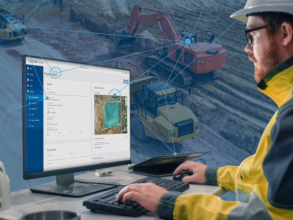
  • Share, communicate and collectively interact in real time with easy-to-understand visualisations for efficient collaboration with people of all skill levels
  • Improve communications between the field and office by connecting more people on and off the job site
  • Take photos, measurements and notes in the field for accurate and up-to-date reporting, create tasks and assign them to team members
  • Use sub surface mapping information to improve plans by visualising the location, size and attributes of underground infrastructure such as water, power, gas and telecommunications.

Watch in action

Get in touch!

    Company Name & Title (required)

    Your Name (required)

    Your Email (required)

    Phone Number (required)

    Your Enquiry is related to (optional)
    SalesServiceTech-SupportOther

    Subject

    Your Message

    preloader