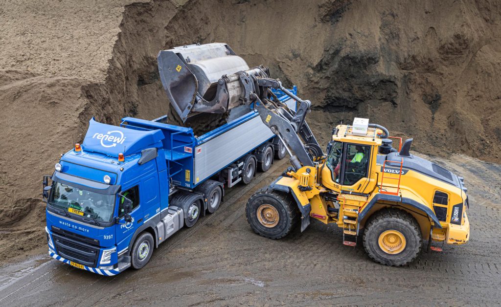
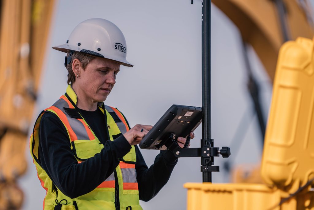
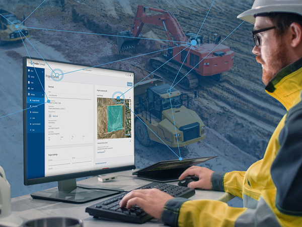
From the office to the field, SITECH WA offers a wide range of technology solutions to increase profitability, improve sustainability and enable rapid decision-making.
YOUR ONE STOP SOLUTION
View our range of solutions
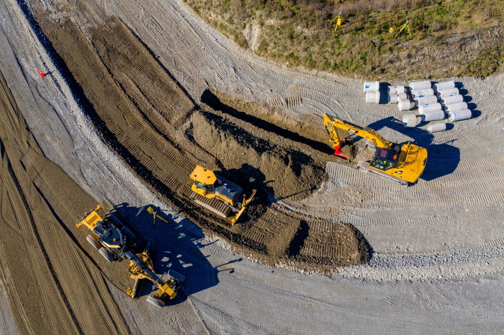
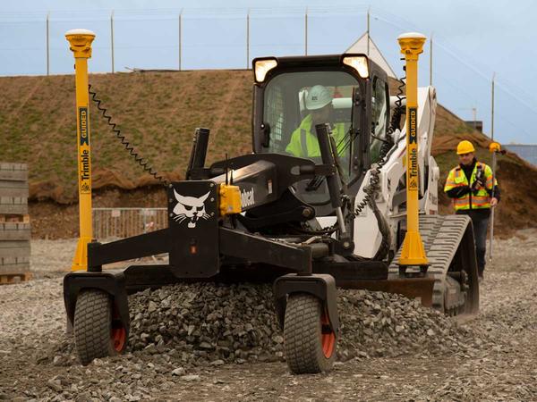
Machine Control
We offer machine control and guidance solutions to help improve accuracy, productivity, safety and quality on the jobsite.
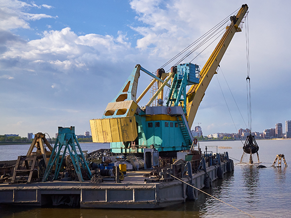
Marine Construction
Improve productivity & efficiency in marine construction & hydrographic surveying.