fbpx

Your Construction Technology Provider

Eliminate rework, get the job right the first time.

With design information at your fingertips, the need for
stakes, hubs or string lines is eliminated. Through improved
productivity, personnel and machine costs are also reduced,
and you can carefully control material usage.

Spend more time being productive and less time waiting for
surveying and grade checking. With the information displayed
in the cab, operators can finish jobs faster with minimal
supervision—even in extreme conditions.

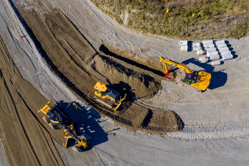
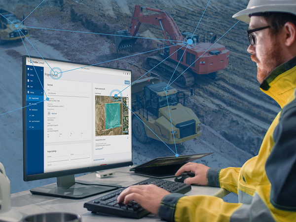
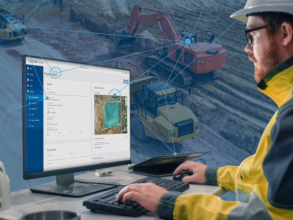
Trimble GCS900 grade control with GradeMax Plus technology for dozers. Smarter, faster and more accurate grading, with standard Connected Machine functionality to bring the office and the machine together for increased efficiency.

Bulk Earthworks

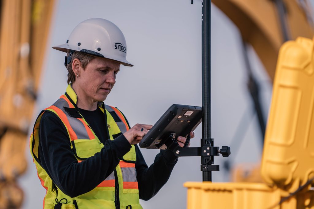
  • Display design information and live cut/fill indications in the cab
  • Monitor avoidance zones with real-time information
  • Collect as-built data as the machine cuts to grade
  • Keep tighter control over safety issues
  • See precisely where dirt is being moved on site

    Grading

    • Determine the position of each tip of the blade and compare it to the design elevation to compute cut or fill to grade
    • Drive the valves for automatic blade control or view in-cab lightbars based on the cut or fill data
    • Control the machine’s automatic blade control settings in real-time
    • Adjust the machine’s response to different material conditions
    • Optimize the machine’s performance for a particular grading task

    Finished Grading

    • Achieve finished grade to millimeter accuracy with fewer passes
    • Place finished grade materials more accurately and in a shorter time period
    • Keep the material costs to a minimum and realize better profits

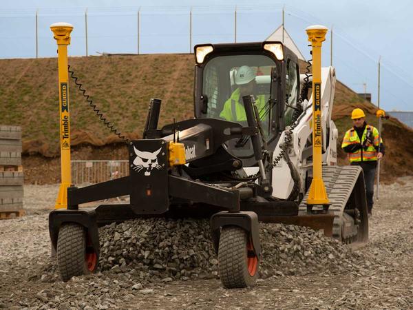
    Dual GNSS: Measures the exact position, cross slope and heading of the blade for rough grading and mass excavation on steep slopes and complex design surfaces

    Single or Dual GNSS with Laser Augmentation: Single and dual GNSS systems enhanced with laser augmentation to improve vertical accuracy for high accuracy guidance to complex design surfaces such as super-elevation grading from rough through finished grade work

    Universal Total Stations:  Total station-based system for extreme accuracy for lift and layer control, material monitoring, or where GNSS is not the ideal solution because of overhead obstructions

    Configurations

    Single GNSS: Measures the position and slope of the blade and compares that to design data for rough grading and mass excavation on complex design surfaces

    Get in touch!

      Company Name & Title (required)

      Your Name (required)

      Your Email (required)

      Phone Number (required)

      Your Enquiry is related to (optional)
      SalesServiceTech-SupportOther

      Subject

      Your Message

      preloader