Get The Job Done Right. The First Time.
Cat Accugrade 3D for Excavators simplifies digging, improves accuracy, increases productivity, minimises material usage, and lowers operating costs.
Delivering a wide range of customer benefits, Cat AccuGrade 3D for excavators is designed to increase operator efficiency and productivity, improve accuracy, reduce material costs, reduce surveying and labor costs, and lower overall operating costs.
Configuration
Single GNSS
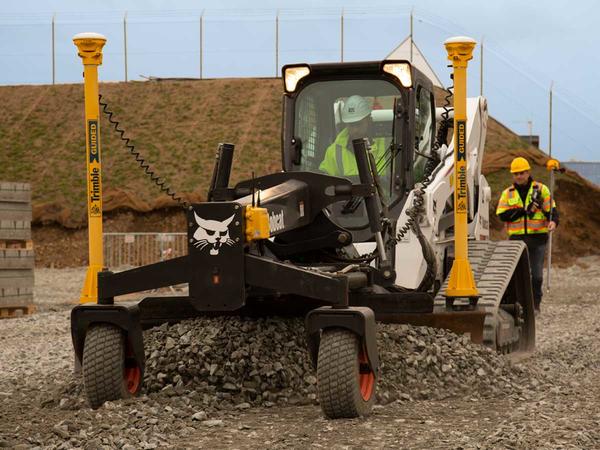
Measures the position and slope of the blade and compares that to design data for rough grading and mass excavation on complex design surfaces
Dual GNSS
Measures the exact position, cross slope and heading of the blade or bucket, for rough grading and mass excavation on steep slopes and complex design surfaces.
Universal Total Station
Total station-based system for high accuracy lift and layer control, material placement and monitoring, or for jobs where GNSS is not the ideal solution because of overhead obstructions, tunnels or accuracy needs.
Applications
- Land reclamation
- dam and reservoir construction
- new infrastructure projects
- landfills and waste deposits
- highway and railway construction
- residential and commercial site construction