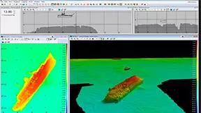
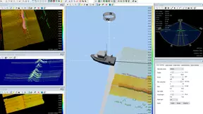
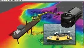
fbpx

Trimble Marine Construction Systems

Single and Multibeam Hydrographic Survey

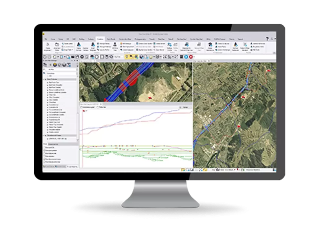
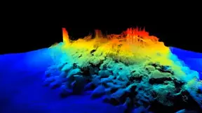
Reliable and efficient survey planning, data acquisition, editing, data processing and volume calculations.

Features

Trimble Marine Construction Software is a powerful tool for the surveyor and helmsman to complete efficient marine surveys in shallow and deep water. It is a complete software suite for efficient acquisition.

  • Intuitive Workflow

    Intuitive Workflow

    The software offers single beam survey functionality as standard and multibeam acquisition as a separate license. Real-time progress is shown in 2D and 3D views using a color-coded Digital Terrain Model (DTM). Multiple displays provide operator feedback and the vector editing module offers tools for data editing and cleaning. After data processing, grid models can be generated, interpolations completed, and data is available for volume calculations, processing and export.

  • Flexible System, Customisable Interface

    Flexible System, Customisable Interface

    Multiple monitors with independent layouts can be tailored to the needs of the surveyor. Trimble Marine Construction software can also show presentation screens in real-time. A color-coded plan view and 3D view highlights high and low spots relative to the design.

    • Single-beam data editing
    • Magnetometer data interpolation
    • Volume computations from sailed lines or grid models
    • Suitable for shallow and deep-water applications
    • Supports Trimble inertial sensors for vessel  roll, pitch, heave
  • Reliable and Easy to Use

    Reliable and Easy to Use

    Set-up wizards, equipment templates and vessel shape (DXF) import make the software easy to use.

    • Manage large data sets
    • Efficient and accurate surveying
    • Robust to maximise uptime
  • Sonar imaging for underwater visualisation

    Sonar imaging for underwater visualisation

    Add eyes below the water with Teledyne Marine sonars for real-time data visualisation.

  • Layered Data

    Layered Data

    Create simple track guidance lines, waypoints and routes, and collaborate with your surveyor to build additional information layers to the plan view navigation including a surveyed grid model, electronic navigation chart, sonar image wedge layer.

Request More Information

Integrates with

Trimble Business Center

Make better decisions, decrease costly mistakes, and increase efficiency in the office and on the jobsite. Powerful tools help you quickly and easily create accurate, integrated 3D constructible models for construction surveying and machine control.

Read More